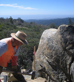
2011, Mike Bridgette, PLS, setting a property line monument off Summit Road, Santa Cruz County, California

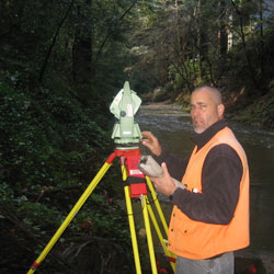
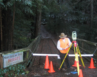
Data captured in the field with state of the art Leica robotic total station and or Leica GPS. All mapping projects are digital per the AutoCAD platform.
Professional Services
Bridgette Land Surveying has over 40 years of experience in the following services:
Bridgette Land Surveying has over 40 years of experience in the following services:
- Boundary Surveying – retracement and monumentation of county right of ways, rancho boundaries, sectionalized lands, subdivision lots and deeded lots. Map and document preparations: Record of Surveys and Corner Record Certificates to be recorded or filed at the local governing body.
- Subdivision Surveying – boundary and topographic surveying to produce tentative maps for minor and major land divisions. New boundary monumentation, Parcel Maps and Final Maps prepared to be recorded at the local governing body.
 American Land Title Association Surveys (ALTA)
 - Lot Line Adjustments – All phases from the actual surveying to processing your project through the local governing body, to preparing the legal descriptions to be recorded.
- Easement and Right of Way Design
- Legal Descriptions – prepare and process legal descriptions for deeds, easements, right of ways, well lots, lease areas, scenic easements and environmental easements.
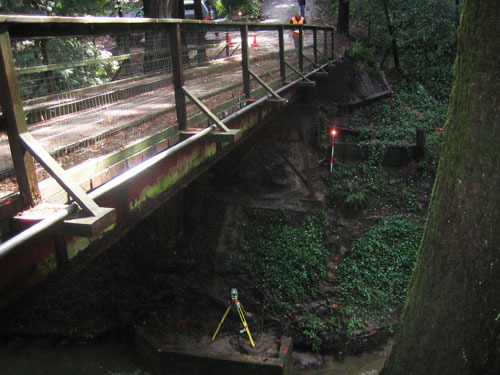
- Topographic Surveying – surveying and digital mapping to produce topographic maps for engineers & architects to have an accurate design base.
- Site Plans – surveying and digital mapping to produce site plans for engineers & architects to have an accurate design base.
- Exhibit Maps – prepare exhibit maps (typically 8.5" x 11") to accompany legal descriptions.
 Condominium Plans
 - Campus Master Plans – campus wide surveying and mapping to collect and depict campus infrastructure for inventory and planning purposes.
- Roof Height Certification
- Construction Staking – laying out all new improvements on the construction site: residential, commercial, municipal, institutional and industrial.
- Elevation Certificates – surveying and document preparation and processing.
- Letter of Map Amendments, Revision, Revision based on Fill LOMA, LOMR, LOMR-F – surveying and document preparation and processing.
- Photogrammetric Control Surveys
 Horizontal and Vertical Control Surveys – control surveys
provided for the local governing body, right of way establishment,
benchmark leveling, re-leveling.
Horizontal and Vertical Control Surveys – control surveys
provided for the local governing body, right of way establishment,
benchmark leveling, re-leveling. - Global Positioning System (GPS)
- Acreage Surveys – surveying, calculations and digital mapping for farmable or leasable land.
- Volume Surveys – surveying, calculations and digital mapping for construction quantities, contaminated soil.
- Monitoring Well Surveys
- Settlement and Monitoring Surveys
- Story Pole Surveys – layout surveying and proposed ridge height certification.
- Expert Witness - court appearances, depositions, research and consultations.